Kategorier i Tomohon
Industries
Virksomhedsfordeling efter branche i Tomohon
| Industribeskrivelse | Antal virksomheder |
|---|---|
| Indkøb | 706 |
| Restauranter | 633 |
| Caféer | 434 |
| Andre overnatningsfaciliteter | 420 |
| Rejser og transport | 323 |
| Dagligvarebutikker og supermarkeder | 299 |
| Undervisning | 204 |
| Religion | 170 |
| Tøjbutikker | 156 |
| Skønhedssaloner | 149 |
| Virksomhedsledelse | 141 |
| Offentlig administration | 140 |
Tomohon-fakta
| Areal | 121.2 km² |
| Befolkning | 113.090 |
| Mandlig befolkning | 57.156 (50.5%) |
| Kvindelig befolkning | 55.934 (49.5%) |
| Befolkningsændring (1975 to 2020) | +351.7% |
| Befolkningsændring (2000 to 2020) | +64.8% |
| Middelalder | 30.4 år (Mand: 30.1, Kvinde: 30.9) |
| Områdenumre | 4 |
| Nabolag | Kamasi, Tomohon Tengah, Talete Satu, Tomohon Tengah, Paslaten Satu, Tomohon Timur, Kakaskasen Dua, Tomohon Utara, Talete Dua, Tomohon Tengah |
| Lokal tid | |
| Tidszone | Centralindonesisk tid |
| Lat & Lng | 1.31678, 124.80379 |
| Postnumre | 91856, 95116, 95362, 95411, 95412, More |
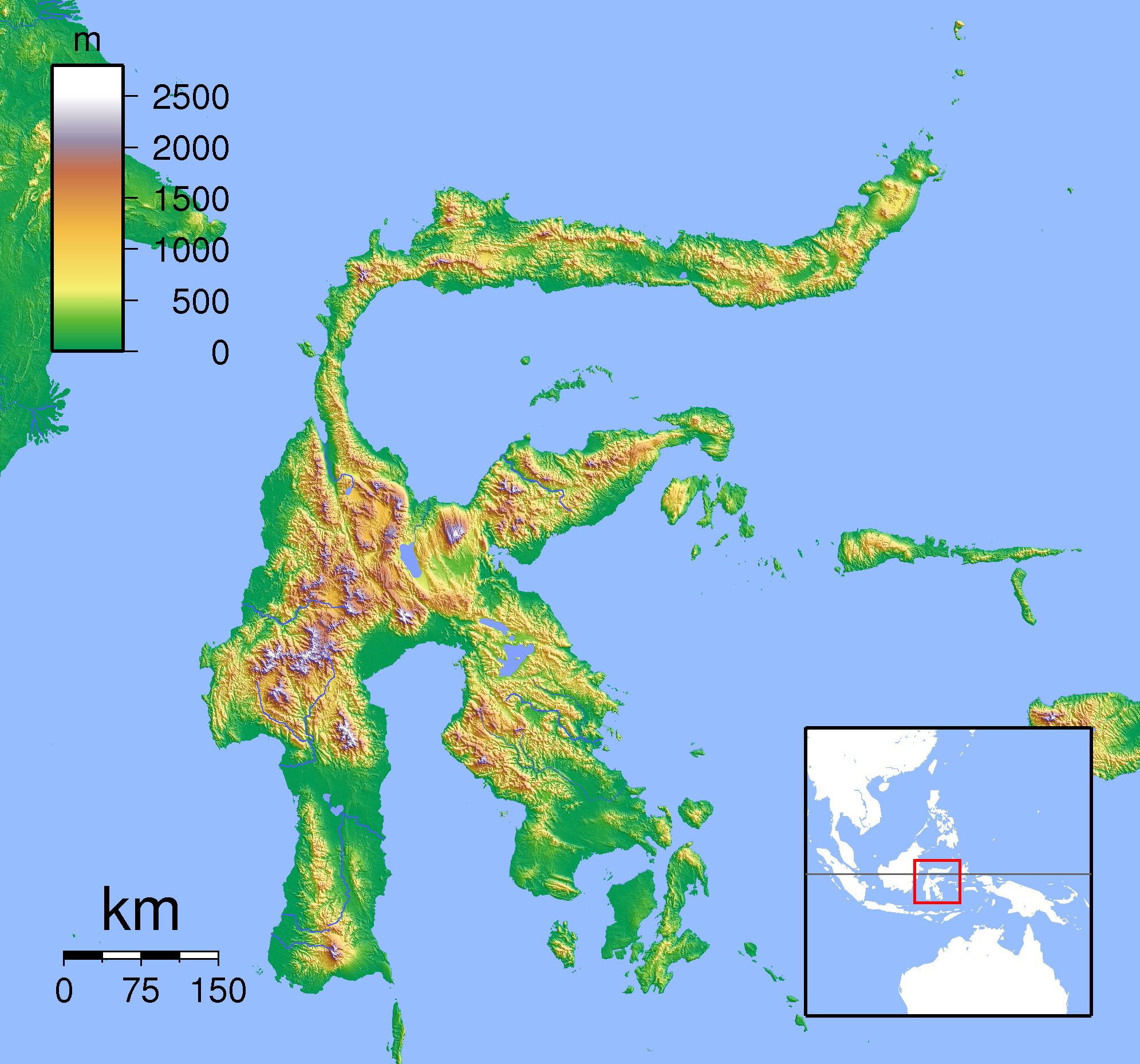
Kort over Tomohon
Interaktivt kort
Tomohon befolkning
År 1975 til 2020
| Data | 1975 | 1990 | 2000 | 2015 | 2020 |
|---|---|---|---|---|---|
| Befolkning | 25.038 | 48.177 | 68.640 | 108.730 | 113.090 |
| Befolkningstæthed | 206,6 / km² | 397,5 / km² | 566,4 / km² | 897,2 / km² | 933,2 / km² |
Tomohon befolkningsændring fra 2000 til 2015
Stigning på 58.4% fra år 2000 til 2015
| Beliggenhed | Ændring siden 1975 | Ændring siden 1990 | Ændring siden 2000 |
|---|---|---|---|
| Tomohon | +334.3% | +125.7% | +58.4% |
| Sulawesi Utara | +161% | +67.6% | +34.2% |
| Indonesien | +96.9% | +41.9% | +21.7% |
Tomohon medianalder
Medianalder: 30.4 år
| Beliggenhed | Middelalder | Median alder (kvinde) | Median alder (mand) |
|---|---|---|---|
| Tomohon | 30.4 yrs | 30.9 yrs | 30.1 yrs |
| Sulawesi Utara | 29.1 yrs | 29.5 yrs | 28.7 yrs |
| Indonesien | 27.2 yrs | 27.5 yrs | 26.9 yrs |
Tomohon befolkningstæthed
Befolkningstæthed: 933 / km²
| Beliggenhed | Befolkning | Areal | Tæthed |
|---|---|---|---|
| Tomohon | 113.090 | 121,2 km² | 933 / km² |
| Sulawesi Utara | 2,4 million | 14.665,5 km² | 161 / km² |
| Indonesien | 252,8 million | 1.893.657,8 km² | 134 / km² |
Tomohon historisk og forventet befolkning
Estimeret befolkning fra 1860 til 2100
- JRC (European Commission's Joint Research Centre) arbejde på GHS built-up grid
- CIESIN (Center for International Earth Science Information Network)
- [Link] Klein Goldewijk, K., Beusen, A., Doelman, J., and Stehfest, E.: Anthropogenic land use estimates for the Holocene – HYDE 3.2, Earth Syst. Sci. Data, 9, 927–953, https://doi.org/10.5194/essd-9-927-2017, 2017.
Kvarterer i Tomohon
Procentdel af virksomheder efter kvarter i Tomohon
Områdenumre
Procentdel af områdekoder anvendt af virksomheder i Tomohon
Postnumre
Procentdel af virksomheder efter postnummer i Tomohon
Prisfordeling
Virksomhedsfordeling efter pris for Tomohon
Human Development Index (HDI)
Statistisk sammensat indeks over forventet levealder, uddannelse og indkomst pr. Indbygger.
Tomohon CO2-udledning
Kuldioxid (CO2) -emissioner pr. Indbygger i ton pr. År
| Beliggenhed | CO2-udledning | CO2-emissioner pr. Indbygger | CO2-emissioner Intensitet |
|---|---|---|---|
| Tomohon | 272,027 tn | 2.41 tn | 2,244.7 tons/km² |
| Sulawesi Utara | 4,296,994 tn | 1.82 tn | 293 tons/km² |
| Indonesien | 478,610,416 tn | 1.89 tn | 252.7 tons/km² |
| 2013 CO2-udledning (tons/år) | 272,027 tn |
| 2013 CO2-udledning (tons/år) per indbygger | 2.41 tn |
| 2013 CO2-udledningsintensitet (tons/km²/år) | 2,244.7 tons/km² |
Naturlige farer
Relative risk out of 10
| Fare | Risk Level |
|---|---|
| Drought | Medium (7) |
| Flood | Medium (4) |
| Earthquake | Medium (6) |
| Landslide | High (8) |
| Volcano | High (9) |
* Risk, particularly concerning flood or landslide, may not be for the entire area.
- Dilley, M., R.S. Chen, U. Deichmann, A.L. Lerner-Lam, M. Arnold, J. Agwe, P. Buys, O. Kjekstad, B. Lyon, and G. Yetman. 2005. Natural Disaster Hotspots: A Global Risk Analysis. Washington, D.C.: World Bank. https://doi.org/10.1596/0-8213-5930-4.
- Center for Hazards and Risk Research - CHRR - Columbia University, Center for International Earth Science Information Network - CIESIN - Columbia University, and Norwegian Geotechnical Institute - NGI. 2005. Global Landslide Hazard Distribution. Palisades, NY: NASA Socioeconomic Data and Applications Center (SEDAC). https://doi.org/10.7927/H4P848VZ.
- Center for Hazards and Risk Research - CHRR - Columbia University, Center for International Earth Science Information Network - CIESIN - Columbia University, and International Research Institute for Climate and Society - IRI - Columbia University. 2005. Global Drought Hazard Frequency and Distribution. Palisades, NY: NASA Socioeconomic Data and Applications Center (SEDAC). https://doi.org/10.7927/H4VX0DFT.
- Center for Hazards and Risk Research - CHRR - Columbia University, Center for International Earth Science Information Network - CIESIN - Columbia University. 2005. Global Flood Hazard Frequency and Distribution. Palisades, NY: NASA Socioeconomic Data and Applications Center (SEDAC). https://doi.org/10.7927/H4668B3D.
- Center for Hazards and Risk Research - CHRR - Columbia University, Center for International Earth Science Information Network - CIESIN - Columbia University. 2005. Global Volcano Hazard Frequency and Distribution. Palisades, NY: NASA Socioeconomic Data and Applications Center (SEDAC). https://doi.org/10.7927/H4BR8Q45.
- Center for Hazards and Risk Research - CHRR - Columbia University, Center for International Earth Science Information Network - CIESIN - Columbia University. 2005. Global Earthquake Hazard Distribution - Peak Ground Acceleration. Palisades, NY: NASA Socioeconomic Data and Applications Center (SEDAC). https://doi.org/10.7927/H4BZ63ZS.
Nylige jordskælv i nærheden
Størrelse 3.0 og større
| Dato▼ | Tid↕ | Magnitude↕ | Distance↕ | Dybde↕ | Beliggenhed↕ | Link |
|---|---|---|---|---|---|---|
| 7/13/18 | 2:29 AM | 4.6 | 32.6 km | 227,990 m | 36km W of Tomohon, Indonesia | usgs.gov |
| 4/2/18 | 7:23 PM | 4.6 | 39 km | 193,710 m | 17km NNW of Laikit, Laikit II (Dimembe), Indonesia | usgs.gov |
| 2/20/18 | 9:29 AM | 4.8 | 51.9 km | 220,060 m | 53km W of Manado, Indonesia | usgs.gov |
| 8/21/17 | 11:31 PM | 4.5 | 30.5 km | 134,190 m | 27km S of Tondano, Indonesia | usgs.gov |
| 10/10/16 | 8:24 AM | 4.1 | 34.4 km | 550,800 m | 15km N of Manado, Indonesia | usgs.gov |
| 9/27/16 | 9:35 AM | 4.1 | 4.3 km | 35,000 m | 6km WNW of Tomohon, Indonesia | usgs.gov |
| 7/27/16 | 7:16 PM | 4.5 | 45.8 km | 232,880 m | 29km NNW of Manado, Indonesia | usgs.gov |
| 7/27/16 | 9:53 AM | 4.2 | 41.3 km | 234,150 m | 42km NNE of Poigar, Indonesia | usgs.gov |
| 6/1/16 | 7:12 PM | 4.2 | 38.9 km | 153,380 m | 19km N of Manado, Indonesia | usgs.gov |
| 4/26/16 | 9:18 PM | 4.2 | 39.5 km | 242,870 m | 34km WNW of Manado, Indonesia | usgs.gov |


Om vores data
Dataene på denne side er estimeret ved hjælp af en række offentligt tilgængelige værktøjer og ressourcer. Det er leveret uden garanti og kan indeholde unøjagtigheder. Brug på eget ansvar.