Kategorier i Guantanamo
Industries
Virksomhedsfordeling efter branche i Guantanamo
| Industribeskrivelse | Antal virksomheder |
|---|---|
| Undervisning | 25 |
| Caféer | 23 |
| Restauranter | 23 |
| Indkøb | 21 |
| Barer, pubs og værtshuse | 16 |
| Kirker | 14 |
| Andre overnatningsfaciliteter | 13 |
| Lejligheder | 12 |
| Virksomhedsledelse | 11 |
Guantanamo-fakta
| Areal | 661.3 km² |
| Befolkning | 213.092 |
| Mandlig befolkning | 102.850 (48.3%) |
| Kvindelig befolkning | 110.242 (51.7%) |
| Befolkningsændring (1975 to 2020) | +40.8% |
| Befolkningsændring (2000 to 2020) | +9.2% |
| Middelalder | 36 år (Mand: 35.2, Kvinde: 36.8) |
| Nabolag | San Justo, Guantanamo Bay |
| Lokal tid | |
| Tidszone | Cubansk sommertid |
| Lat & Lng | 20.14444, -75.20917 |
Kort over Guantanamo
Interaktivt kort
Guantanamo befolkning
År 1975 til 2020
| Data | 1975 | 1990 | 2000 | 2015 | 2020 |
|---|---|---|---|---|---|
| Befolkning | 151.350 | 180.087 | 195.064 | 212.781 | 213.092 |
| Befolkningstæthed | 228,9 / km² | 272,3 / km² | 295 / km² | 321,8 / km² | 322,2 / km² |
Guantanamo befolkningsændring fra 2000 til 2015
Stigning på 9.1% fra år 2000 til 2015
| Beliggenhed | Ændring siden 1975 | Ændring siden 1990 | Ændring siden 2000 |
|---|---|---|---|
| Guantanamo | +40.6% | +18.2% | +9.1% |
| Guantanamo-provinsen | +32.9% | +13.7% | +5.3% |
| Cuba | +20.8% | +7.6% | +2.4% |
Guantanamo medianalder
Medianalder: 36 år
| Beliggenhed | Middelalder | Median alder (kvinde) | Median alder (mand) |
|---|---|---|---|
| Guantanamo | 36 yrs | 36.8 yrs | 35.2 yrs |
| Guantanamo-provinsen | 36.2 yrs | 37 yrs | 35.4 yrs |
| Cuba | 39.5 yrs | 40.4 yrs | 38.6 yrs |
Guantanamo befolkningstæthed
Befolkningstæthed: 322 / km²
| Beliggenhed | Befolkning | Areal | Tæthed |
|---|---|---|---|
| Guantanamo | 213.092 | 661,3 km² | 322 / km² |
| Guantanamo-provinsen | 500.934 | 6.222,2 km² | 80,5 / km² |
| Cuba | 11,2 million | 111.150,7 km² | 101 / km² |
Guantanamo historisk og forventet befolkning
Estimeret befolkning fra 1830 til 2100
- JRC (European Commission's Joint Research Centre) arbejde på GHS built-up grid
- CIESIN (Center for International Earth Science Information Network)
- [Link] Klein Goldewijk, K., Beusen, A., Doelman, J., and Stehfest, E.: Anthropogenic land use estimates for the Holocene – HYDE 3.2, Earth Syst. Sci. Data, 9, 927–953, https://doi.org/10.5194/essd-9-927-2017, 2017.
Områdenumre
Procentdel af områdekoder anvendt af virksomheder i Guantanamo
Prisfordeling
Virksomhedsfordeling efter pris for Guantanamo
Human Development Index (HDI)
Statistisk sammensat indeks over forventet levealder, uddannelse og indkomst pr. Indbygger.
Guantanamo CO2-udledning
Kuldioxid (CO2) -emissioner pr. Indbygger i ton pr. År
| Beliggenhed | CO2-udledning | CO2-emissioner pr. Indbygger | CO2-emissioner Intensitet |
|---|---|---|---|
| Guantanamo | 750,861 tn | 3.52 tn | 1,135.4 tons/km² |
| Guantanamo-provinsen | 1,800,332 tn | 3.59 tn | 289.3 tons/km² |
| Cuba | 38,319,156 tn | 3.41 tn | 344.7 tons/km² |
| 2013 CO2-udledning (tons/år) | 750,861 tn |
| 2013 CO2-udledning (tons/år) per indbygger | 3.52 tn |
| 2013 CO2-udledningsintensitet (tons/km²/år) | 1,135.4 tons/km² |
Naturlige farer
Relative risk out of 10
| Fare | Risk Level |
|---|---|
| Drought | Medium (4) |
| Flood | Medium (7) |
| Earthquake | Medium (6.1) |
| Cyclone | Medium (7) |
* Risk, particularly concerning flood or landslide, may not be for the entire area.
- Dilley, M., R.S. Chen, U. Deichmann, A.L. Lerner-Lam, M. Arnold, J. Agwe, P. Buys, O. Kjekstad, B. Lyon, and G. Yetman. 2005. Natural Disaster Hotspots: A Global Risk Analysis. Washington, D.C.: World Bank. https://doi.org/10.1596/0-8213-5930-4.
- Center for Hazards and Risk Research - CHRR - Columbia University, Center for International Earth Science Information Network - CIESIN - Columbia University, International Bank for Reconstruction and Development - The World Bank, and United Nations Environment Programme Global Resource Information Database Geneva - UNEP/GRID-Geneva. 2005. Global Cyclone Hazard Frequency and Distribution. Palisades, NY: NASA Socioeconomic Data and Applications Center (SEDAC). https://doi.org/10.7927/H4CZ353K.
- Center for Hazards and Risk Research - CHRR - Columbia University, Center for International Earth Science Information Network - CIESIN - Columbia University, and International Research Institute for Climate and Society - IRI - Columbia University. 2005. Global Drought Hazard Frequency and Distribution. Palisades, NY: NASA Socioeconomic Data and Applications Center (SEDAC). https://doi.org/10.7927/H4VX0DFT.
- Center for Hazards and Risk Research - CHRR - Columbia University, Center for International Earth Science Information Network - CIESIN - Columbia University. 2005. Global Flood Hazard Frequency and Distribution. Palisades, NY: NASA Socioeconomic Data and Applications Center (SEDAC). https://doi.org/10.7927/H4668B3D.
- Center for Hazards and Risk Research - CHRR - Columbia University, Center for International Earth Science Information Network - CIESIN - Columbia University. 2005. Global Earthquake Hazard Distribution - Peak Ground Acceleration. Palisades, NY: NASA Socioeconomic Data and Applications Center (SEDAC). https://doi.org/10.7927/H4BZ63ZS.
Nylige jordskælv i nærheden
Størrelse 3.0 og større
| Dato▼ | Tid↕ | Magnitude↕ | Distance↕ | Dybde↕ | Beliggenhed↕ | Link |
|---|---|---|---|---|---|---|
| 5/19/18 | 5:11 PM | 3.3 | 36.6 km | 23,940 m | 36km S of Guantanamo, Cuba | usgs.gov |
| 3/10/18 | 8:07 PM | 3.8 | 33.3 km | 29,270 m | 33km SW of Guantanamo, Cuba | usgs.gov |
| 8/3/17 | 6:58 PM | 3.9 | 71.7 km | 10,000 m | 60km SSE of Santiago de Cuba, Cuba | usgs.gov |
| 5/10/17 | 3:36 PM | 3.2 | 35.5 km | 21,800 m | 35km S of Guantanamo, Cuba | usgs.gov |
| 4/25/17 | 2:42 PM | 4.7 | 61.9 km | 23,010 m | 56km SE of Santiago de Cuba, Cuba | usgs.gov |
| 4/25/17 | 4:56 AM | 4.2 | 67.1 km | 10,000 m | 55km SE of Santiago de Cuba, Cuba | usgs.gov |
| 9/30/16 | 11:06 PM | 5 | 91 km | 10,000 m | 52km SSE of Baracoa, Cuba | usgs.gov |
| 1/25/16 | 10:37 PM | 4.3 | 97.2 km | 10,000 m | 31km SSW of El Cobre, Cuba | usgs.gov |
| 1/25/16 | 6:05 PM | 4.6 | 98.7 km | 10,000 m | 32km SSW of El Cobre, Cuba | usgs.gov |
| 1/24/16 | 1:08 PM | 4.2 | 48.5 km | 20,350 m | 48km SSW of Guantanamo, Cuba | usgs.gov |
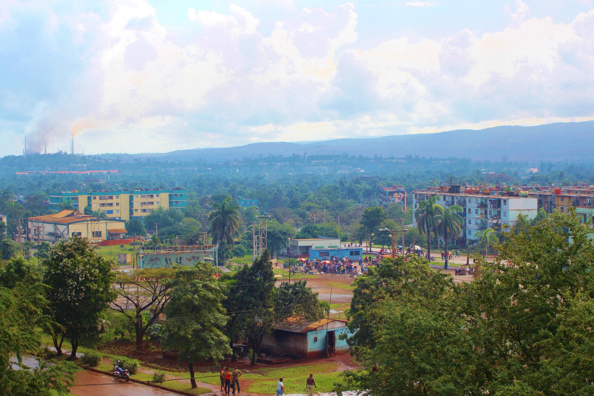
Guantanamo
(på spansk Guantánamo) er en by i det sydøstlige Cuba. Guantanamo er hovedstaden i Guantanamo-provinsen og har omkring 208.000 indbyggere, der hovedsagelig lever af at producere sukkerrør og bomuld. Omkring 15 km fra byen ligger den amerikanske flådebase Gua..
Guantanamo Wikipedia-side


Om vores data
Dataene på denne side er estimeret ved hjælp af en række offentligt tilgængelige værktøjer og ressourcer. Det er leveret uden garanti og kan indeholde unøjagtigheder. Brug på eget ansvar.